TYI's drone cameras are designed to bring your aerial photography to the next level. Offering high-quality video and image capture, these cameras are built for professional use, providing clear and steady results. Whether you're filming for real estate, surveying land, or monitoring events, TYI’s drones are equipped with advanced technology to deliver exceptional performance in various environments. With TYI, elevate your business and achieve stunning visuals with ease and precision.

TYI drone camera systems incorporate 1-inch CMOS sensors and RTK GPS to deliver sub-centimeter geotag accuracy for orthomosaic and 3D-model generation. Ruggedized magnesium housings and IP54 sealing protect against field conditions, while integrated mission-planning software automates flight lines and data capture. B2B clients in construction and mining benefit from turnkey solutions—including pilot training, cloud processing pipelines, and API integration—to accelerate project timelines and reduce manual survey costs.

TYI's drone cameras represent the future of commercial aerial imaging. Designed with the latest advancements in camera technology and flight stabilization systems, TYI drones offer unbeatable performance for a variety of industries. From real estate to agriculture, these drones provide high-quality, efficient solutions that save time and money. With TYI’s drones, businesses can capture the most precise and clear aerial footage, driving success across multiple sectors.
TYI drone cameras provide accurate, high-resolution imagery that is ideal for land surveying and mapping projects. Designed to capture vast areas in a short amount of time, these drones are equipped with advanced GPS and camera systems to offer precise data collection. TYI’s drones are the perfect tool for industries such as agriculture, construction, and environmental monitoring, enabling businesses to complete surveys more efficiently and with higher accuracy.

TYI’s multispectral drone camera packages enable actionable crop-health insights through NDVI, CCI, and PRI indices. Radiometric calibration panels ensure data consistency across flight missions, while integrated flight-planning software generates prescription maps for site-specific management. IP54-rated electronics and vibration-damped mounts deliver reliable operation under constant use. B2B agricultural service providers benefit from customizable analytics dashboards, training workshops, and calibration services to enhance input efficiency and yield outcomes.

Xianning TYI Model Technology Company is a professional agricultural drone supplier in Xianning China near Wuhan. We are able to design,develop and manufacture different kinds of drone and accessories since 2015. We have got 11 patents and certifications like CE, RoHS, and ISO 9001 to ensure product quality.
With professional technical support, strict quality control process, high efficiency sales team and competitive price superiority, we have attracted customers from all over the world, our products have been exported to over 60 countries, including Europe, Korea, Poland, Serbia, Turkey, USA, Mexico, Brazil, India, Thailand ,Middle East, South Africa etc.
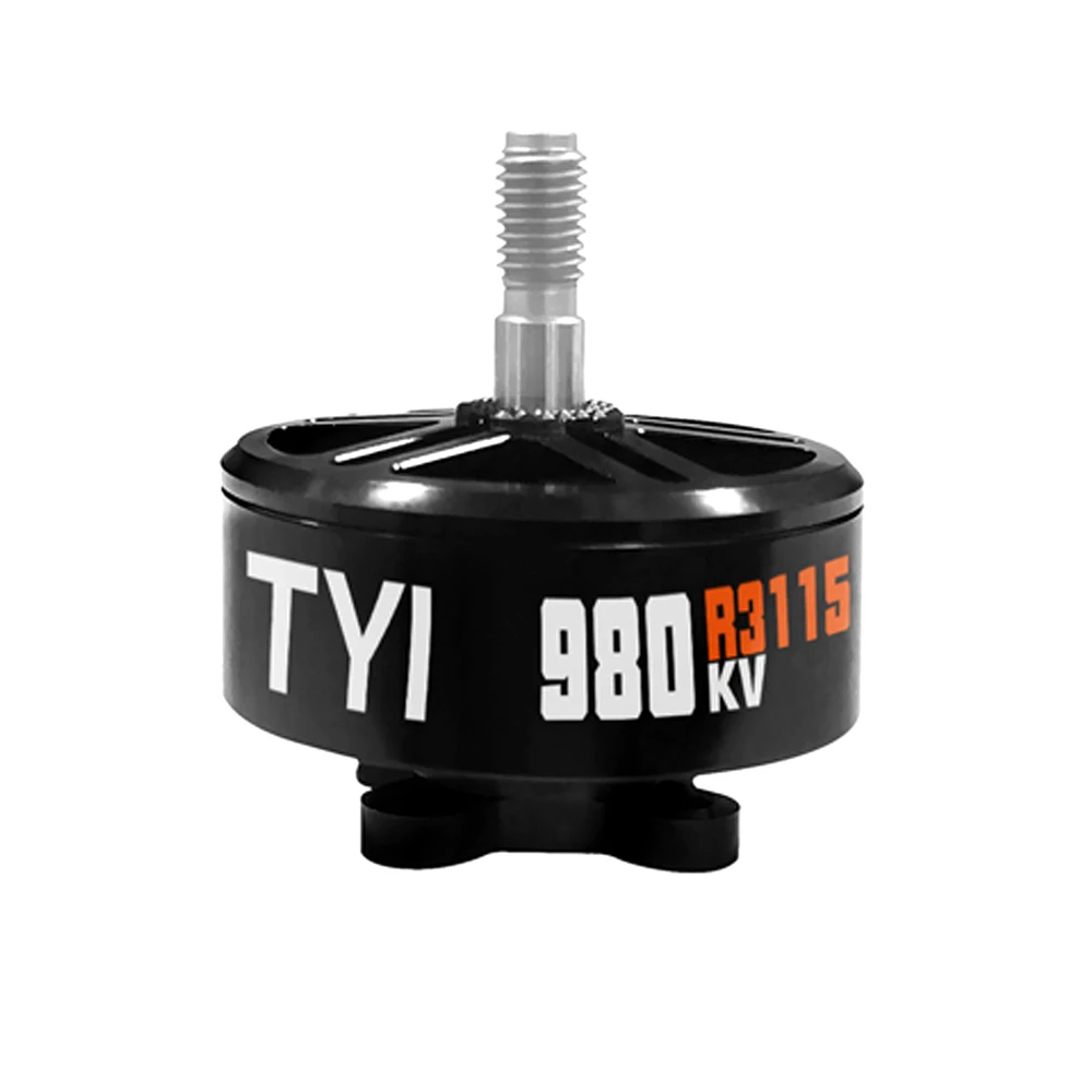
After 9 years of development, we have achieved great progress in drone industry. Equipped with advanced production line and strong technical support from our R&D department which enable us to take some OEM and ODM projects. We can produce 500+ sets of agricultural drones and 10000+FPV drones per month, and offer worldwide delivery.
Covering 6 major drone series and accessories, with over hundreds of products of different specifications and models.
With over 9 years of production experience, we sell our products to more than 60 countries and regions.
With professional technical support, strict quality control processes, efficient sales, and after-sales team.
The company has obtained 35 invention patents and 25 utility patents.
Our cameras offer up to 48 MP stills and 8K video, ensuring ultra-fine detail for orthomosaic and 3D-model generation.
Yes. Dual-payload modules integrate FLIR thermal sensors with synchronized RGB cameras for concurrent thermal and visual inspection.
We provide RESTful APIs, SDKs, and cloud-processing pipelines for seamless connection to GIS, ERP, and asset-management systems.
All drone camera modules feature IP54-rated housings, safeguarding electronics from dust and water splash in field operations.
Yes. Each multispectral package includes reflectance panels and seasonal calibration support to ensure radiometric data consistency.
TYI provides pilot training, maintenance workshops, 24/7 technical assistance, and global spare-parts logistics to ensure uninterrupted operations.